Colorado Plateau
The Colorado Plateau Province is the largest plateau in North America, covering 140,000 sq mi (362,600 sq km) in Utah, Arizona, Colorado, and New Mexico, and surrounds Scenic Color Country, home of our photos. The Plateau contains the greatest concentration of National Parks and Monuments, wilderness areas, and other protected areas in the US. The Plateau is bounded (roughly) on the east and southeast by the Rocky Mountains and Rio Grande rift, on the north/northwest by the Uinta and Wasatch ranges, the Basin and Range Province on the west, and the Mogollon Range on the south. The Plateau is mainly high altitude desert, with some forests, usually around mountain ranges that provide irrigation from melting snow. Domes, hoodoos, fins, reefs, goblins, river narrows, natural bridges, deep canyons, slot canyons, and wilderness study areas are only some of the additional features of the Plateau. The map on the right locates the Plateau, Plateau graphic menu selection shows more detail.
Dr. Annabelle Foos: Professor Emeritus: Geochemistry, Environmental Geology, Buhtel College of Arts and Sciences, The University of AkronThe geology of the Colorado Plateau is interesting, having uplifted as an undeformed block, allowing streams to create hundreds of deeply incised canyons like Grand, Marble, and Glen Canyons, Goosenecks of the San Juan, and hundreds of interesting slot canyons that cry out for exploration.
Detailed geologic information is available in Dr. Foos' Geology of the Colorado Plateau.
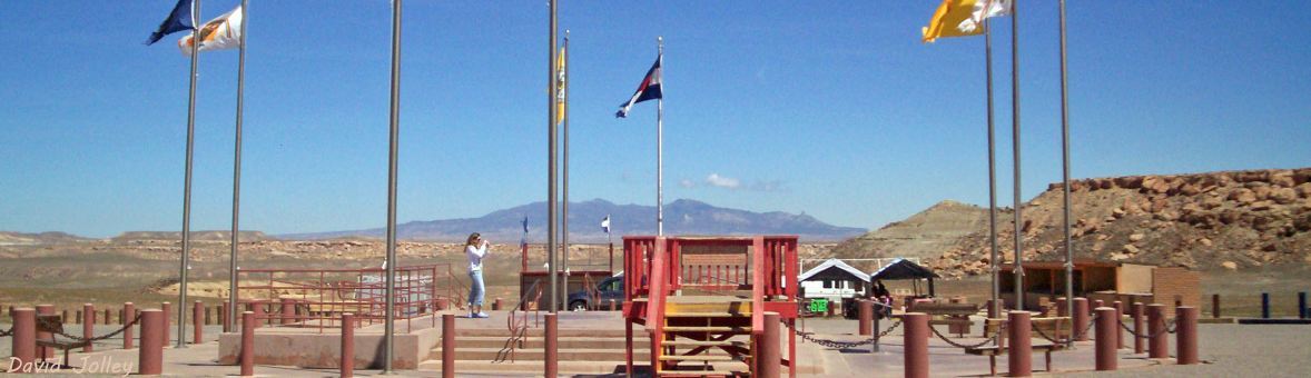
The Colorado Plateau offers more than beautiful scenery and awesome geology with many cultural and archaeological sites throughout the plateau, left behind by ancestral Puebloans (Anasazi), Fremont, Ute, and other native cultures. The area surrounding the Four Corners Monument contains the greatest concentration of Native American cultural sites north of Mexico (visit our Archaeology menu for photos of some of these areas).
A lot more information on and photos of the Colorado Plateau are available at  Wikipedia.
The Photo Gallery contains randomly selected photos from the huge number of national parks, monuments, and wilderness areas in the Plateau, along with some of the bounding formations, with an auto-show of the photos.
Plateau Geology is a pdf document of Dr. Foos' study of the geology of the Colorado Plateau.
Rio Grande Rift is a constucted graphic of the geology and location of the rift.
Protected Areas is a list of National Parks and Monuments, recreation areas, wilderness areas, and other protected areas inside the Colorado Plateau.